Louvie to FXB Panossière
Sitting in the Cabane de Louvie, after completing part one and part two of a week-long trek in the alps, Tanya and Andy and I pulled out all the maps we had with us, spread them out on one of the beautiful wooden tables, and considered our options. The Cabane de Chanrion was an intriguing possibility, but it turned out to be already closed for the season. We figured that continuing west seemed like a good idea, and so we decided to walk across to the Cabane FXB Panossière, which sits on the other side of the Val des Bagnes from Louvie.
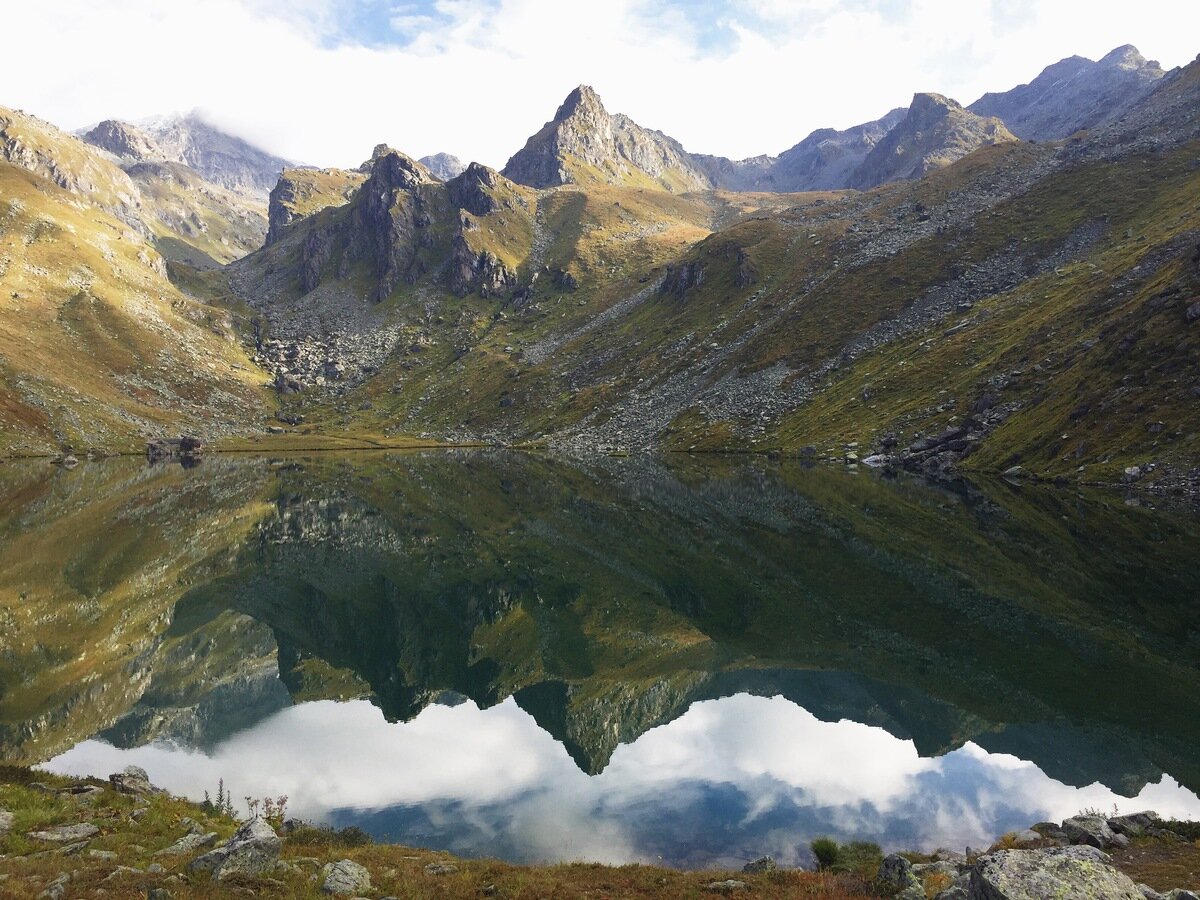
Lac de Louvie. The Col de Louvie sits waaay up the valley on the left.
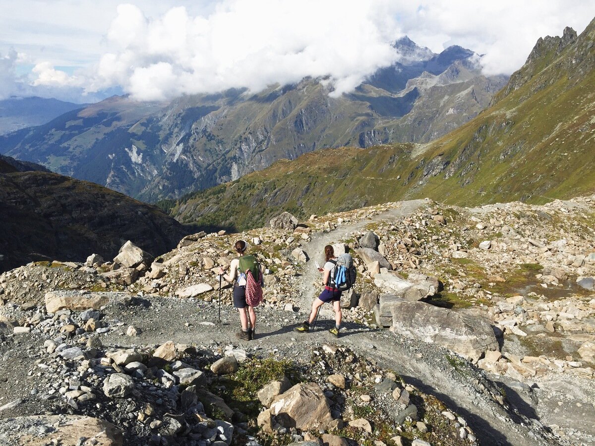
It was an easy descent to the little town of Fionnay, where we grabbed some lunch and refilled water bottles from the town fountain. Then it was onwards and upwards again, with a steepish climb through forest until we popped out into Les Folliès.
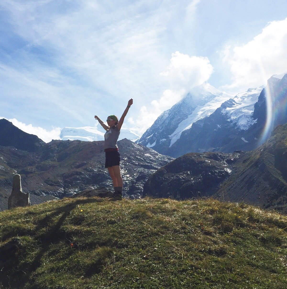
Tanya doing some mountain yoga under the supervision of the Grand Combin.
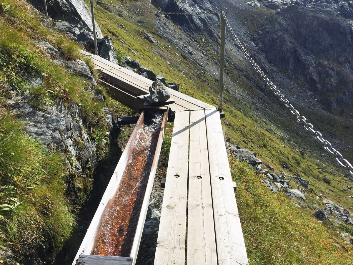
From this point the path followed a beautiful bisse. Bisses are a particularly Swiss phenomenon. They are irrigation channels; small, engineered streams that carry water to where it is needed. They are often surprisingly old. This one, the Bisse de Corbassière, is part stone-lined channel and part wooden conduit next to the path. Previously long-abandoned, it was re-made in 2010.
Bisse and path on a steep section.

The Dyure de Corbassière.
Looking back at the other side of the valley, where we walked from that morning.
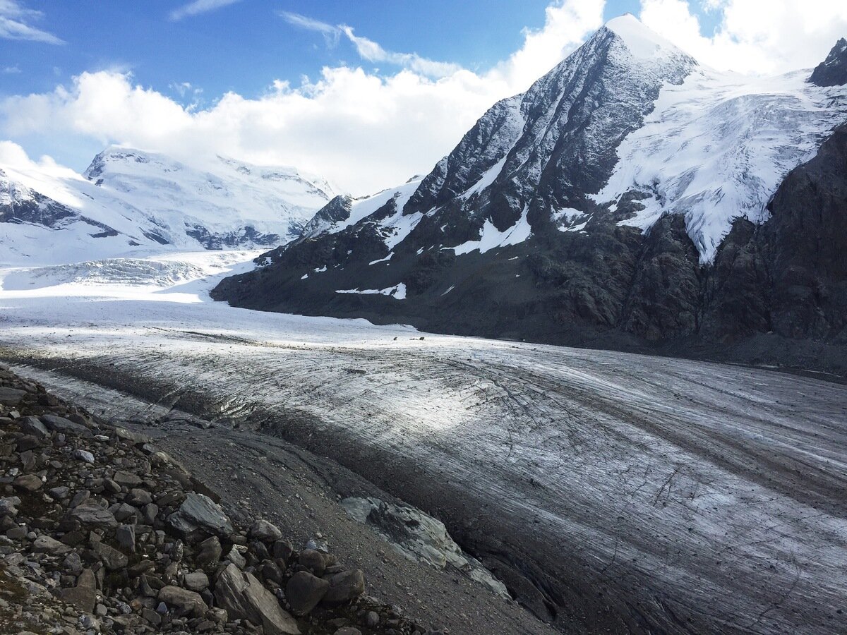
When we rounded La Tsessette, we got our first close-up views of the Glacier de Corbassière, which we had seen at a distance from Louvie. It's a massive glacier, rock-strewn and crevassed, with an impressive serac field just below the flanks of the Grand Combin.

Cloud iridescence above the Combin de Corbassière. This means this cloud was thin with small particles of close to uniform size!
The Glacier de Corbassière leading up to the Grand Combin.
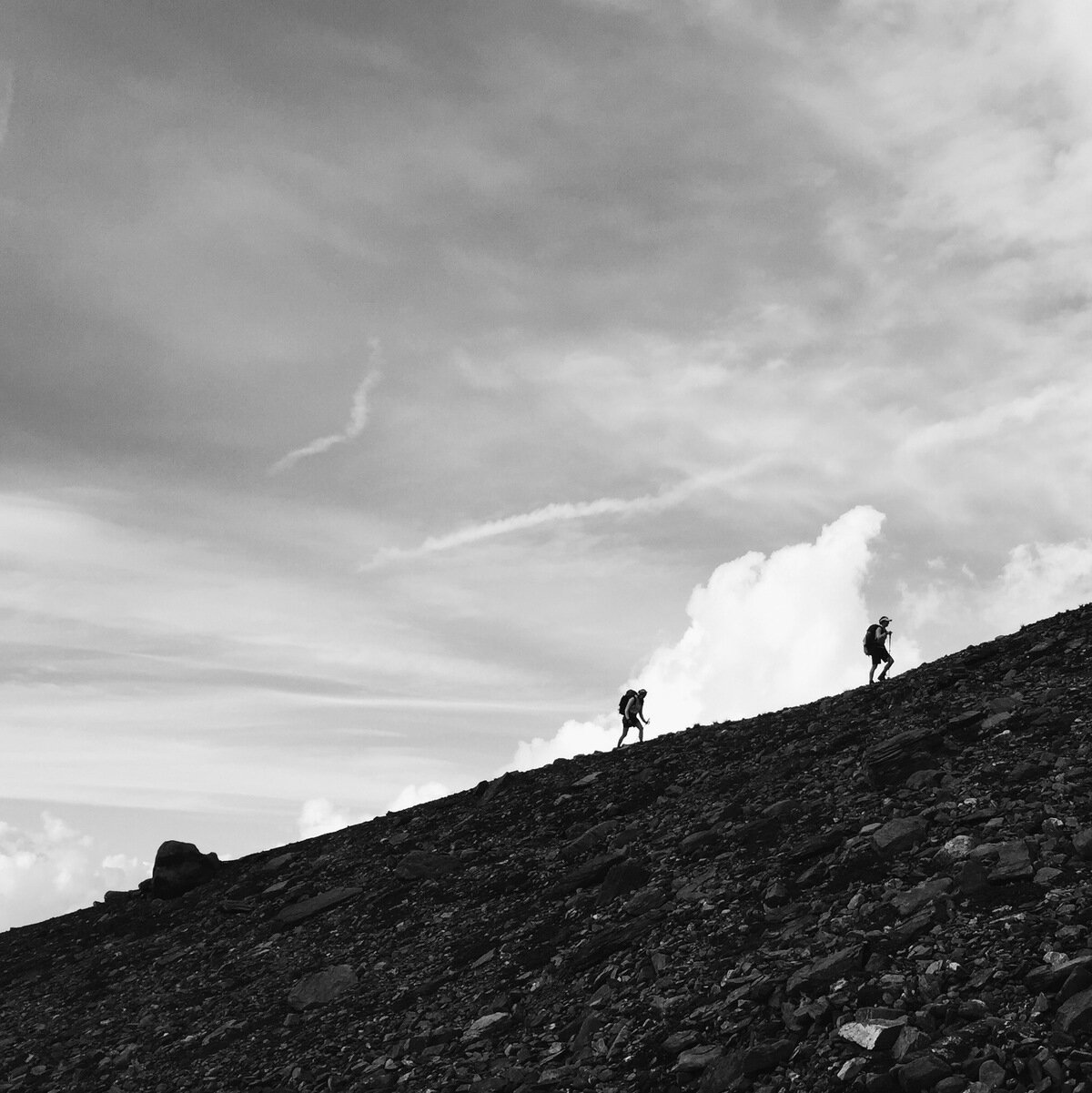
Onwards and upwards.
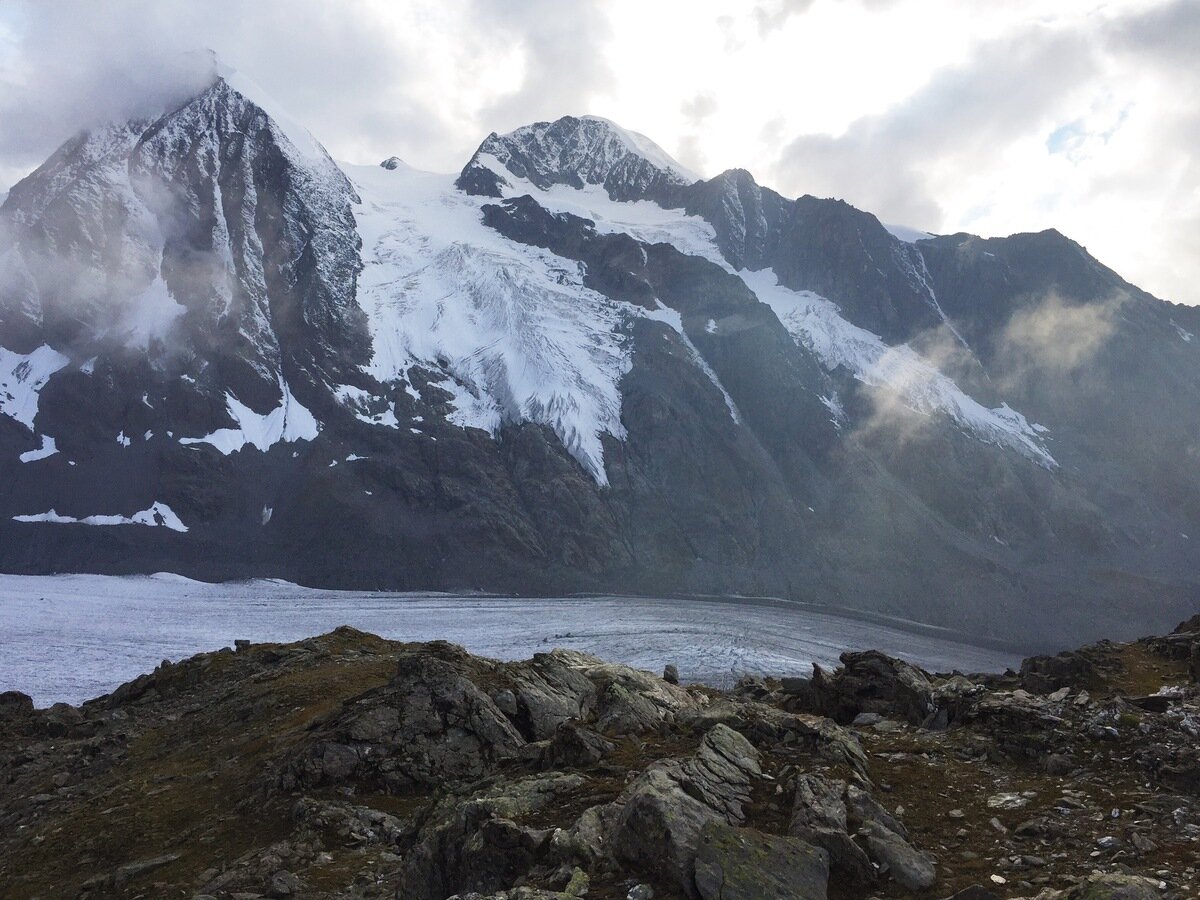
Combin de Corbassière and Petit Combin, Glacier des Follâts in between.
After we reached the cabin we decided to continue upwards to the Col des Otanes, partly for the view (the light was magnificent) and partly to bag another col for the trip. All up that day we walked 13 km with 1462 m climb and 1036 m descent.

Andy and Tanya at the Col des Otanes.

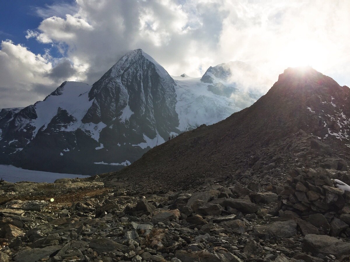
Pt 2880 near the Col des Otanes.
As often happens in these mountains, the clouds that were hanging around the summit of the Grand Combin disappeared as the sun went down and the temperature dropped, and we were treated to wonderful sunset colours on Les Combins. After dinner we braved the cold to take in the night sky, which was the best I have seen in Switzerland. The milky way was splashed from horizon to horizon, and I felt lucky.

Grand Combin at the end of the day.

Cabane FXB Panossière.