Panossière to Marcel Brunet
This post continues a series I have been writing about a week walking in the Swiss Alps. It follows on from part one, part two, and part three, after which Tanya, Andy and I found ourselves at the Cabane FXB Panossière next to the Glacier de Corbassière. Our next step was to walk across to the Cabane Marcel Brunet via Mont Rogneux. To cross the huge glacier we used the relatively new Passerelle de Corbassière, an impressive suspension bridge that is 190 m long and 70 m high above the rocks and ice.

The passerelle.

70 m of air down to the glacier.
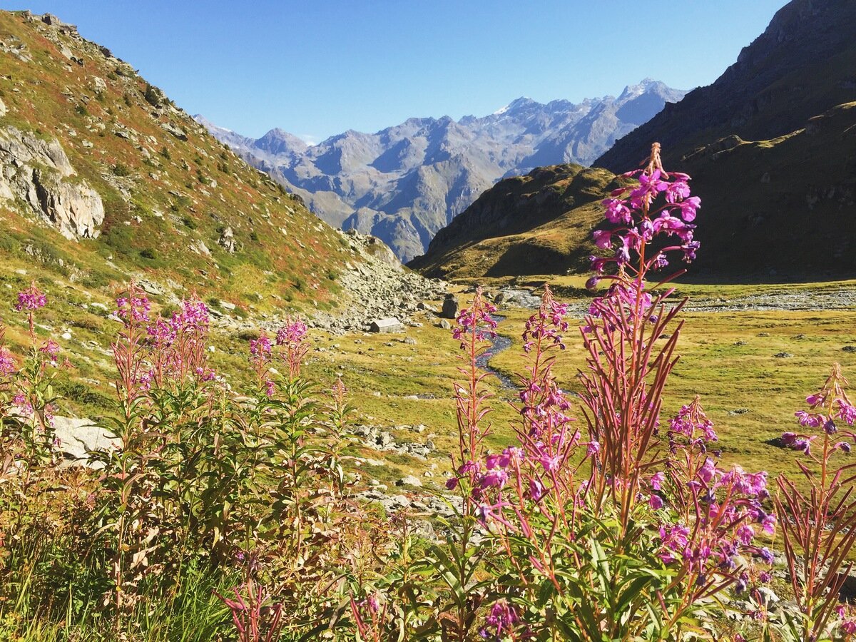
From the passerelle we climbed steeply up to the Col des Avouillons, and dropped down into "Les Plans" on the western side.

Glacier de Corbassière from the Col des Avouillons.

Les Plans and Petit Combin.
Pron Sery.
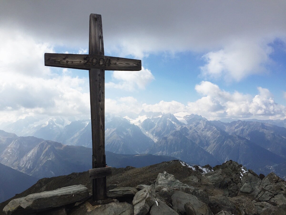
From Pindin at 2397 m we turned off the path that went straight to the cabin, and instead made a detour to climb Mont Rogneux (3084 m). This is a mountain that Tanya and I had previously attempted to ski up in winter, so it was great to see it in a different season.

Looking back to the Col des Avouillons
During our walk in the hills I had come down with a post-thesis cold that was weighing particularly heavily on me this day. I was coughing and fatigued and it was a real struggle to reach the summit of this hill. The air felt like it was way higher altitude than its 3000 m. It was worth the effort, though, because the views were incredible!
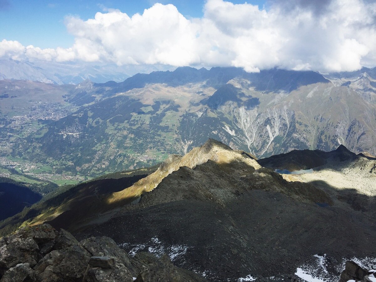
From the summit of Mont Rogneux, looking across to Verbier.

Grand Aget, Pointe de Boveire, and Petit Combin in the clouds.

Rhone-wards view. Le Catogne on the left and Dents du Midi in the distance.
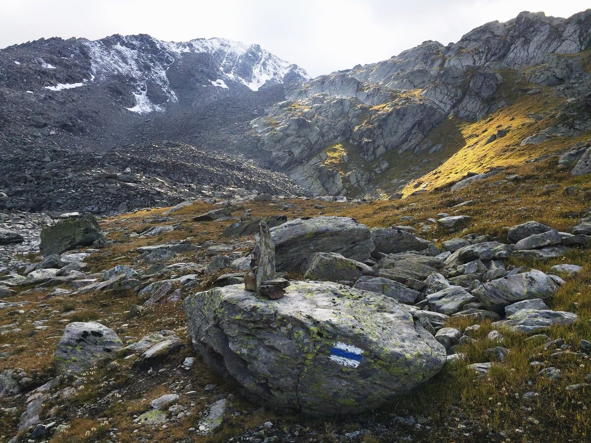
For the walk down we took the Tour des Lacs path, past the Goli du Rogneux and the Goli des Otanes, and ended up following a bisse that flowed down past the Cabane Brunet.

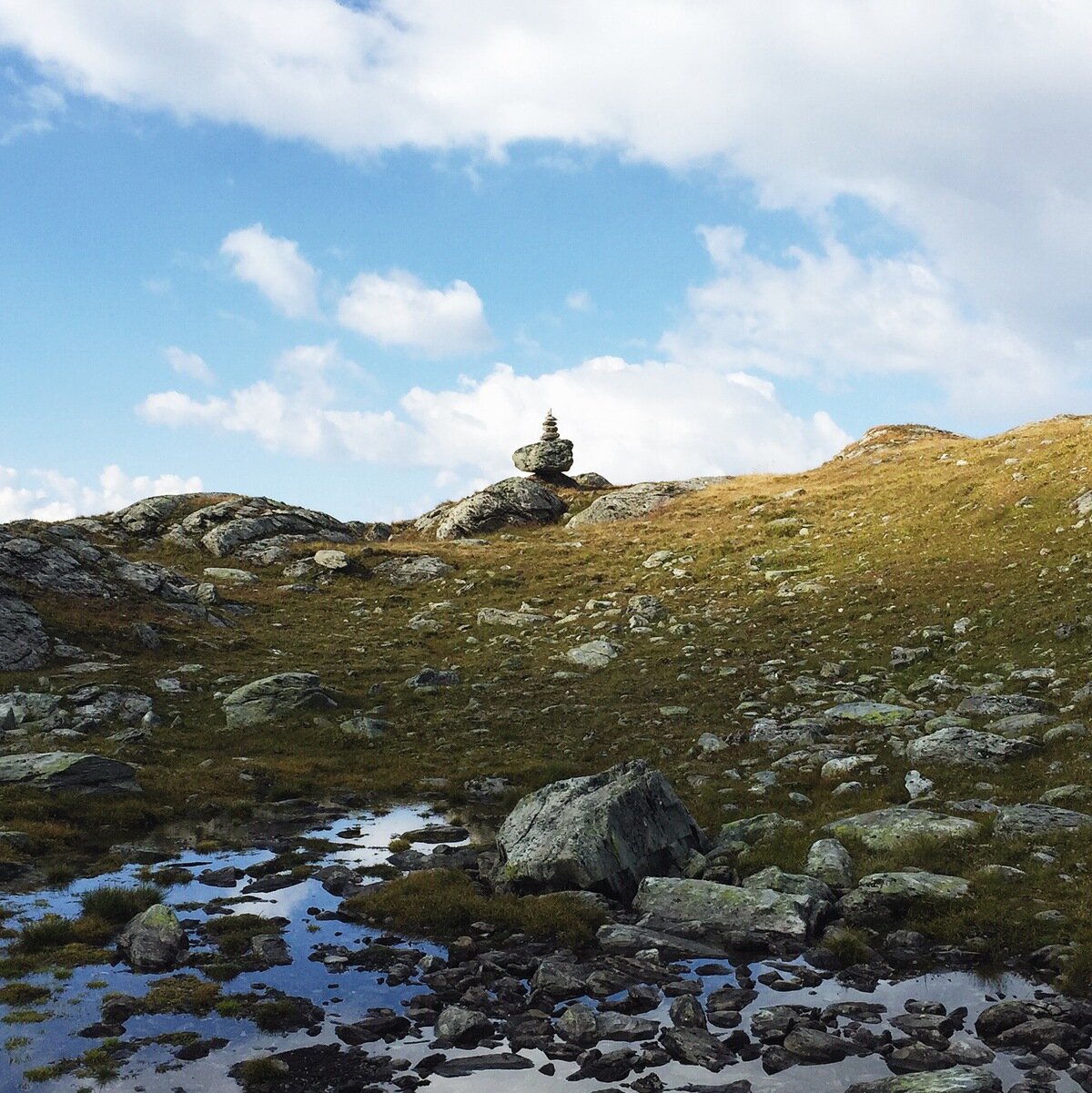
Goli du Rogneux.

Surprise bisse!
All up this day we walked 16 km with 1104 m ascent and 1603 m descent. It was a relief to get to Cabane Marcel Brunet, which has a slightly different feel to other cabins because it is accessible by road. We had a relaxed evening there, perched on the edge of the Val de Bagnes.

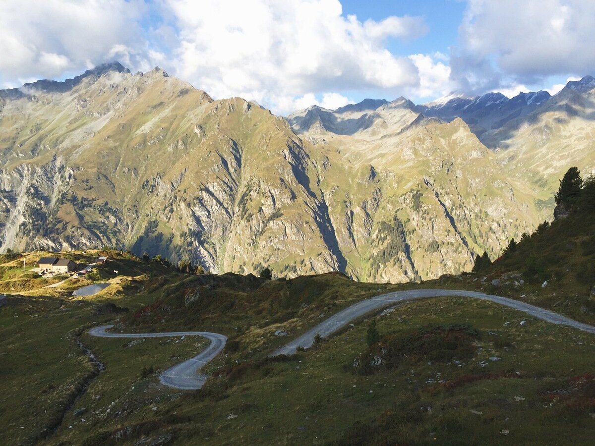
Cabane Marcel Brunet.