Üssers Barrhorn
Üssers Barrhorn, at 3610 m, is (probably) the highest mountain in Switzerland accessible by an ordinary hiking track. The walk up crosses moraine and scree but no glaciers and nothing technical. The hike starts in Turtmanntal, the valley between Val d'Anniviers and the Mattertal, which has long been on our list of places to explore — so in September Tanya and I headed there to walk up the Barrhorn.
We started our walk from Hungerli Unnerstafel, at 1900 m. From there we quickly gained height, scooted around the Turmannsee, and got to the Turtmannhutte at 2519 m. From there the terrain was marmot-filled grassy slopes until we passed through a steep gully with chains and emerged at Gässi. Suddenly, we could see that we were gaining height on the glacial plateau of the Brunegggletscher (yes, it has three gs). I love how in the mountains it's possible to move what seem like insurmountable features into the distance, and this just by taking one step after another.
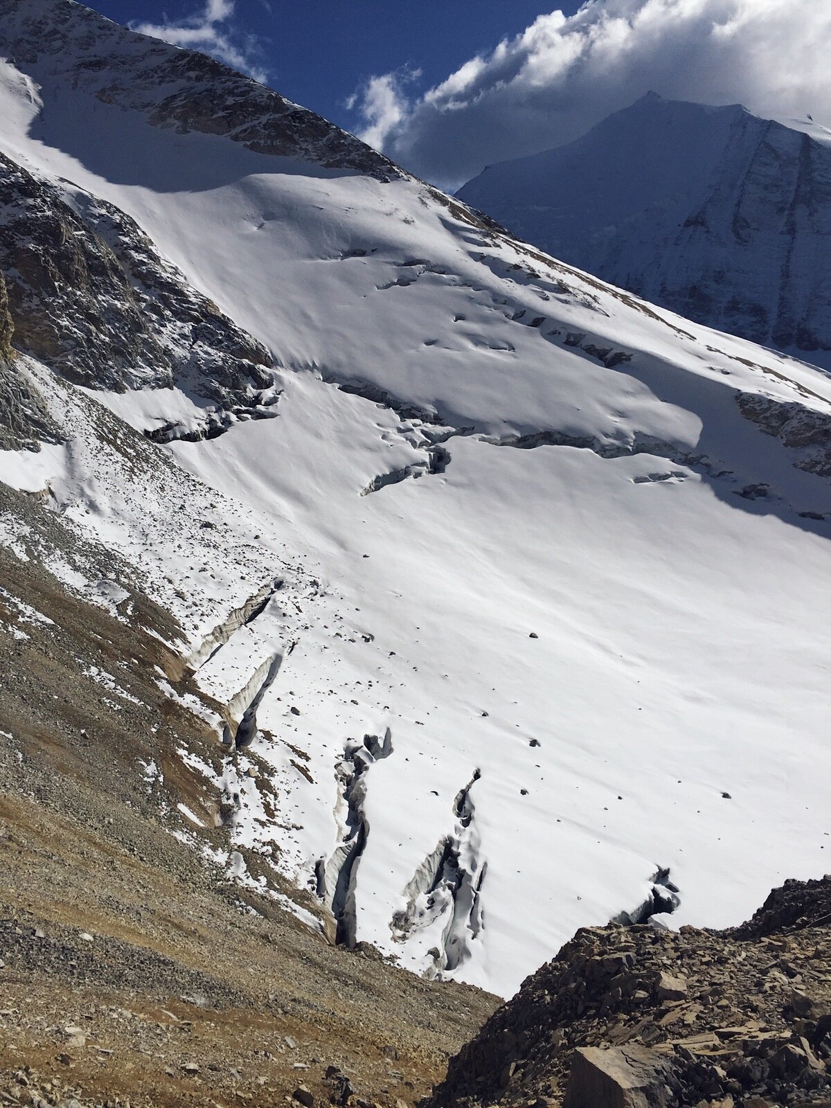
Just after the 3000 m mark we took a left turn and followed a steeper path across frozen scree and snow underneath Inners Barrhorn, to join up with the main ridge and the last push to the summit of Üssers Barrhorn. Arriving above 3600 m, the altitude clearly made its presence felt.
On the summit it was incredibly cold and there was a sharp wind blowing, but the view was just magnificent; we could see across to Weisshorn and Bishorn, the Brunegggletscher was spread out below us like an icy quilt, and to the other side the Dom hid its peak in the clouds. We ate a quick lunch while being closely watched by a rather hopeful alpine chough, and then headed down.
It was after leaving the summit and walking along the higher path under Inners Barrhorn that we looked back and saw Üssers Barrhorn from its most spectacular angle. The ridge fairly drops away on one side and the mountain forms a giant wedge into the sky.
It was a long walk back to the car, but we made it in good spirits and having thoroughly enjoyed the hike. I mapped our path with the ever-reliable map.admin.ch, and this walk was 21 km with a 1717 m climb from start to peak. What a fantastic day out!


